
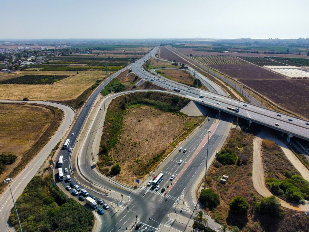

Introduction to the Rural Road Registry
The central government is preparing to roll out a comprehensive geographic information system based digital registry aimed at transforming rural connectivity across the nation. This centralized database will digitally map essential transportation links, including roadways, bridges, and drainage culverts, establishing a modern foundation for future rural development.
Optimizing Public Spending and Maintenance
By leveraging advanced mapping technology, authorities aim to significantly streamline ongoing infrastructure maintenance. Officials note that the detailed digital inventory will help prevent resource wastage and optimize public spending by identifying exact locations that require repair or expansion.
Addressing Data Gaps in Existing Networks
For years, planners have faced challenges regarding incomplete or fragmented data concerning remote transportation networks. The upcoming registry is specifically designed to bridge these information gaps, ensuring policymakers possess accurate, real-time insights into the state of rural connectivity.
Future Implications for Rural Communities
Implementing a centralized geographic database marks a crucial step toward transparent and efficient governance. Enhanced data accuracy will ultimately lead to better planning, faster project execution, and improved mobility for millions of citizens residing in rural regions.