
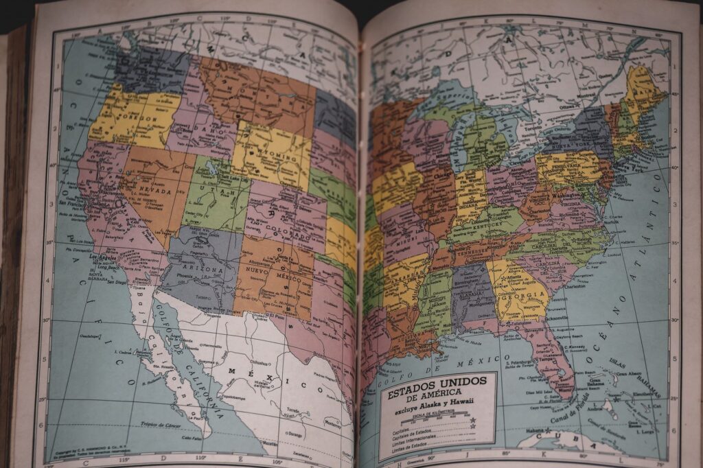

Technology giants Apple and Google recently adjusted their digital mapping applications for users residing in the United States, replacing the traditional designation of Lake Ontario with the new label Lake America. This sudden geographic update followed a formal directive issued by President Trump, which mandated an official name alteration within the designated federal geographic names database. Despite the implementation by these major software providers, industry practices varied significantly across the digital mapping sector. While the two prominent tech corporations adopted the federally updated nomenclature for domestic audiences, competing services such as MapQuest chose to retain the historical designation, continuing to display the body of water as Lake Ontario.
Legal Obligations of Private Tech Firms
A central question arising from this corporate compliance involves the legal framework governing private enterprises and federal geographic databases. Legal experts and industry analysts have confirmed that private technology companies are not legally bound to adopt changes made to the Geographic Names Information System. Federal directives of this nature primarily dictate official designations for government documentation, federal maps, and public administration purposes. Consequently, private entities maintain the autonomy to choose whether or not to synchronize their commercial software platforms with domestic federal naming conventions.
Industry Divergence in Mapping Services
The divergent approaches taken by major technology providers highlight the complex decisions corporations face when navigating national policy shifts. Apple and Google operate expansive mapping ecosystems utilized by millions of daily users within the United States. Aligning their applications with the federal database may have been viewed as a measure to maintain consistency with domestic official standards or to preempt potential confusion among users referencing government data. Conversely, MapQuest’s decision to preserve the original nomenclature demonstrates that private navigation platforms are under no obligation to mirror federal updates immediately or at all.
Implications for Digital Navigation and Users
For the average consumer navigating digital platforms, these discrepancies introduce subtle changes in how geographic features are represented depending on the chosen application. While the physical body of water remains unchanged, its digital representation varies according to the internal policies of individual mapping providers. As technology firms continue to balance user experience, official federal guidelines, and commercial independence, instances of varying geographic terminology across different applications may persist.